Home·Resources·Training Videos
Ditch Assist training videos

GPS grade control walkthroughs for field operators.

Watch Ditch Assist app training videos for setup, field survey, RTK preflight checks, hydraulic control checks, and job-specific GPS grade control workflows including ditching, terracing, land forming, simple grading, tiling, and leveling.

RTK GPS setup Preflight checks Workflow training In-app walkthroughs
Start here

Getting Started with the Ditch Assist AppLearn the first-run workflow: unlock field-prep tools, cache satellite imagery, connect to the control module, confirm RTK GPS, test hydraulics, and choose the right workflow mode.

GPS grade control video library

Ditch Assist setup and workflow training videos.

Use these walkthroughs to review the operator steps before going to the field, training a new operator, or switching between Ditch Assist workflow modes.

Ditch Assist is an Android-based RTK GPS grade control and guidance system for agricultural drainage, earthmoving, and excavator work. These videos show the in-app steps operators use for controller connection, GPS validation, hydraulic checks, Field Survey data collection, survey export, design, and grading. For complete calibration and troubleshooting details, use the Ditch Assist operator manual.

Setup · Preflight

Getting Started with the Ditch Assist App

Start here before any grading job. This Ditch Assist app tutorial covers field preparation, offline imagery, control module Wi-Fi, valid RTK GPS, live elevation, and hydraulic raise/lower checks.

App setupRTK GPSHydraulic checks
App downloads and setup
Owner tools · LiDAR planning

Plan drainage with the Geo-Surface owner portal

See how Ditch Assist owners check LiDAR coverage, draw or import fields, inspect elevations, tune flow and ponding layers, and export geo-referenced overlays. The video predates the current in-app workflow: after a tablet connects to Ditch Assist owner hardware, the app can now generate these LiDAR drainage layers directly.

LiDARField planningGeo-referenced export
Explore LiDAR Drainage Mapping
Mode 01 · Surface drainage

Ditching mode walkthrough

Learn the Ditch Assist Ditching workflow for RTK surface drainage: survey the ditch route, confirm water-flow direction, design with Slope-IQ, stage deep cuts with Auto-Nudge, and grade with hydraulic automation or guidance.

DitchingSlope-IQAuto-Nudge
Open Ditching mode page
Mode 02 · Terraces

Terracing mode walkthrough

Watch the terrace construction workflow: survey the channel and berm, balance cut and fill, build the Slope-IQ terrace design, and verify channel grade and berm height while grading.

TerracingChannelBerm balance
Open Terracing mode page
Mode 03 · 3D design import

Land Forming mode walkthrough

Review the 3D land-forming workflow for imported AGD, LandXML, XYZ, or XYZP design surfaces. The video covers import review, benchmark calibration, cut/fill mapping, Auto-Nudge pass staging, and grading to the design.

Land formingDesign importBenchmark
Open Land Forming mode page
Mode 04 · Constant slope

Simple Grading mode walkthrough

See both Simple Grading paths: enter a grade directly from a reference point for fast laser-style work, or survey a line and fit a single-slope design before grading with RTK control.

Simple gradingDirect gradeSingle slope
Open Simple Grading mode page
Mode 05 · Tile drainage

Tiling mode walkthrough

Watch the tile drainage workflow: enter plow blade height, survey the proposed tile route, design with Tile-Best-Fit, lower to Required Start Depth at the outlet, and install uphill on grade.

TilingTile-Best-FitRequired Start Depth
Open Tiling mode page
Mode 06 · Level pads

Leveling mode walkthrough

Learn how to create flat pads and single-elevation surfaces with Ditch Assist Leveling: benchmark when needed, set target elevation or depth offset, use Grade Guide, and finish with coverage feedback.

LevelingBenchmarkCoverage map
Open Leveling mode page
Mode 07 · Contour guidance

Levee and Contour Guidance mode walkthrough

Watch the complete Levee workflow: controller connection, elevation-source choices, contour interval and smoothing, generated contour lines, lightbar steering, map arrows, and coverage tracking.

LeveeContourGuidance
Open Levee mode page
Mode 08 · Excavator guidance

DIG survey and Slope-IQ design walkthrough

Watch an operator record a proposed excavation route with the excavator or a Bluetooth-connected rover, verify RTK accuracy, save the survey, confirm water-flow direction, set minimum grade, and build a Best-Fit, Guided, or Freeform Slope-IQ trench design.

DIGSurveySlope-IQ
Open Excavator mode page
Mode 08 · Excavator guidance

DIG digging to a saved Slope-IQ design

See an operator open a saved Slope-IQ design, calibrate the excavator to the original survey surface, and dig with the bucket shown against the map, profile chart, grade guide, target bar, progress painting, autosave, and resume workflow.

DIGBucket guidanceResume job
Open Excavator mode page
Setup · Field Survey

Field Survey workflow

Collect RTK elevation data across a field for Levee contours, Land Forming, Tiling, or desktop design software. This walkthrough covers swath width, benchmark drops, AB-line guidance, RTK filtering, save/resume, and survey export.

Field SurveyBenchmarksExport
Open Field Survey notes
No videos match this filter.
Try it live

Prefer to click around yourself?

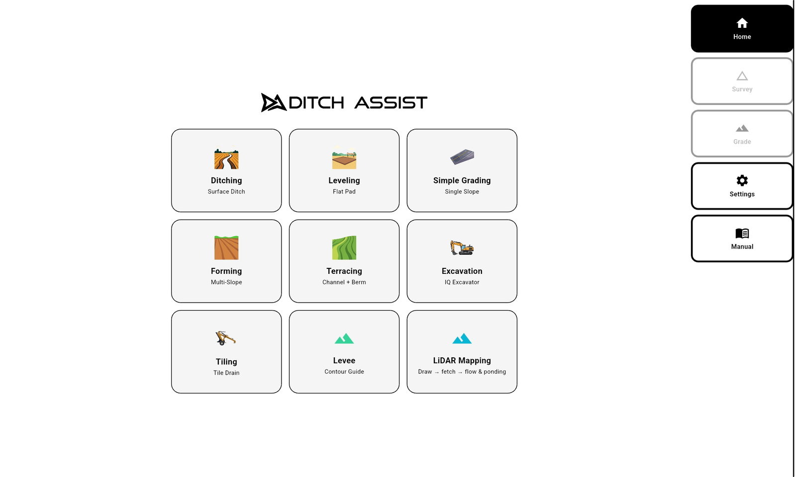
Skip the video and drive the real app directly — a live browser build with every mode included, no login or hardware required.

Ditch Assist app home screen in the browser simulator
Operator training topics

What these Ditch Assist videos cover.

  • Connecting the Android tablet to the Ditch Assist control module Wi-Fi.
  • Checking RTK GPS status, live elevation, controller connection, and hydraulic response.
  • Preparing field context with LiDAR drainage layers and offline satellite imagery.
  • Surveying routes and full fields, dropping benchmarks, exporting survey data, designing grades, and reading profile, Grade Guide, and coverage feedback.
  • Using Slope-IQ, Tile-Best-Fit, Auto-Nudge, Hold, Nudge, benchmark calibration, and imported design files.
Which video should a new Ditch Assist operator watch first?

Start with the Getting Started video, then use the Field Survey walkthrough when you need elevation data before watching the mode video for the job you are doing that day.

Are these videos for automation and guidance users?

Yes. The walkthroughs show app workflow, RTK status, design review, and guidance screens. Where hydraulic automation applies, the video also covers Start, Hold, Nudge, and pass control.

Where can I find complete calibration instructions?

Use the operator manual for full calibration, settings, and troubleshooting details. The videos are visual walkthroughs for training and review.