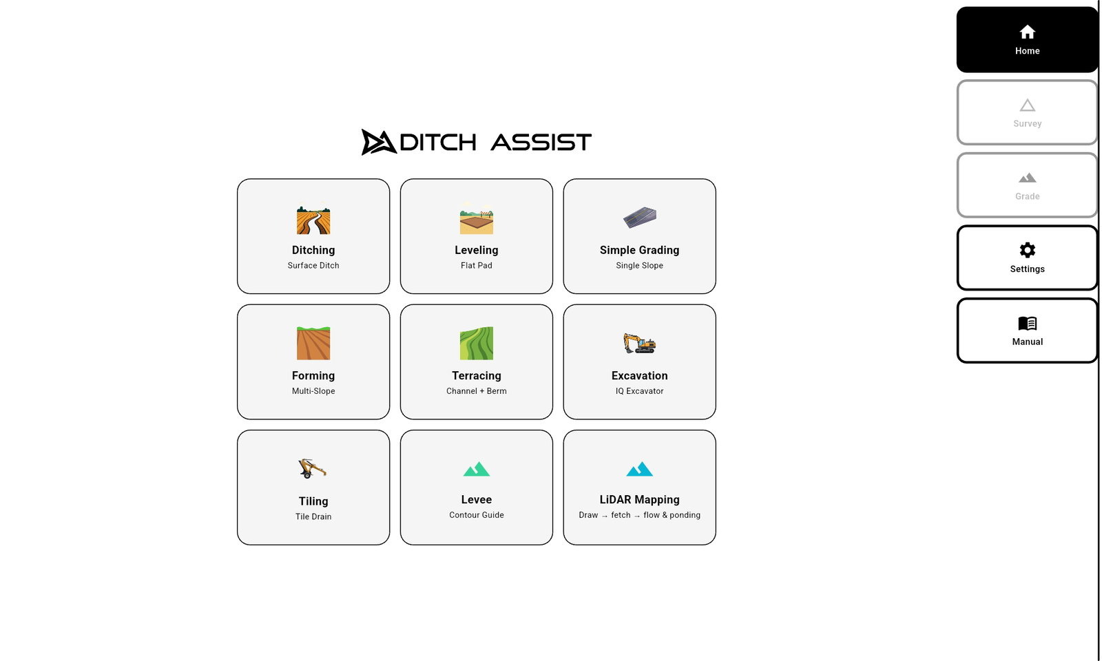
Ditch Assist v1.5.4
For everyone doing normal field work. Required for DIG.
Version 1.5.4 is the current production app. It replaces v1.4 and every v1.5 test build, and adds drainage worked out on the tablet in LiDAR & Mapping with the new Drainage Planner, Ditch Assist Lite, receiver programming from the app (Emlid Diagnostics), fixed outlet depth, design edits that keep your progress, Terrace Simple Maintenance, the new Calibrate Elevation flow, Decimal Feet and DIG firmware updates. Earlier releases, including v1.4, stay available under Previous versions.
Tablet requirement: Try the standard build first — it is the right one for most tablets. For optimum performance, use a modern, powerful Android tablet with plenty of RAM, such as the Samsung Galaxy Tab A11+ we recommend. If the standard build will not install or run, use the older tablet download; performance may be reduced, and upgrading to a newer tablet may be necessary.
What's new in v1.5.4
Installing
- From v1.2 or later (including v1.4 and every v1.5 build): install over the top. It updates in place and keeps your settings, calibration and saved work.
- From Alpha 2.x, v1.0 or v1.1: uninstall the old app first, then install v1.5.4. Those builds were signed with a development key, so v1.5.4 can’t install over them. Surveys, designs and jobs saved on the tablet are kept; settings and the benchmark calibration are lost with the uninstall and must be re-entered.
- Which download: the standard build (arm64-v8a) is right for almost every tablet. If your tablet won’t install it, use the older-tablets build (armeabi-v7a, for older 32-bit tablets).
New: LiDAR & Mapping
- Drainage worked out on the tablet — Prepare Field still downloads the LiDAR over the internet, but flow lines, depressions and ponding are now worked out on the tablet itself, with the same method as Geo-Surface™ Pro. Nothing is uploaded or sent away for processing, and the results match what Geo-Surface Pro shows for the same LiDAR.
- Ponding is ranked from Wet first to Wet last, with its own cutoff slider, so you can show only the spots that hold water first.
- Depressions are drawn by depth, with shallow ones hidden. They are listed in Map Layers but start switched off; one tap shows them.
- Flow lines are drawn in black, thicker for paths that drain more ground, and clipped to the field boundary.
- Drainage Planner — for a field prepared on the tablet, tap Open Drainage Planner (on the Prepare Field completion screen, or on the field’s row in Saved Fields / DEMs) and drag the minimum drainage area slider (0.1 to 20 acres) to thin the flow network down to the paths that drain at least that much ground. Plan lines are purple, wider for bigger drainage areas, with arrows pointing downstream. Save plan keeps it as a named plan; saved plans load from Map Layers > Add Layer > Drainage plan.
- LiDAR elevations read correctly — some US (3DEP) and Canadian (HRDEM) downloads had wrong or missing cells along the edges of the data, which also affected contours and the map elevation check.
- Cached satellite imagery shows as soon as the map opens, LiDAR & Mapping opens on the tablet’s own location, and there is no red "connection lost" banner when you leave the control module Wi-Fi for the internet.
- Fields prepared with an earlier version keep drawing exactly as before.
New: Ditch Assist Lite
- Guidance with only a GPS on the blade — Ditch Assist Lite connects the app to an Emlid Reach RS3 or RS4 over the receiver’s own Wi-Fi hotspot, with no control module and no wires. It works on dozers, self-propelled scrapers and, on the farm, a tractor with a scraper, ditcher, blade or leveler. See Ditch Assist Lite for how it fits your machine.
- Turn it on in Settings > Mode (Ditch Assist | Ditch Assist Lite). Ditch Assist stays the default on every install and update, and a LITE MODE banner heads the Home screen while Ditch Assist Lite is on. The in-app Manual has a Ditch Assist Lite chapter.
- Every workflow works, and saved jobs from any workflow resume. Surveys, designs, chevrons, the profile chart, coverage and Auto-Nudge™ staged passes all work the same; you move the blade yourself. The app never moves the blade in Ditch Assist Lite: there is no Raise / Lower, Hold / Resume or automatic grading, and Rock Hit Detection stays off.
- Excavation follows the receiver’s antenna, not the bucket tip, so it is a grade check between cuts. A reminder shows how to check from the same stick and bucket position each time. Live bucket-tip grade requires the Ditch Assist DIG Kit.
- One license per receiver — the app shows a request code and a QR code that opens an email to sales@ditchassist.com. Enter the 10-digit unlock code we send back; it is checked on the tablet, with no internet needed. A licensed receiver also unlocks LiDAR & Mapping.
New: GPS receiver programming
- The app programs your receiver — Settings > Emlid Diagnostics finds an Emlid Reach RS3 or RS4 on its hotspot and shows its settings against the Ditch Assist Base, Rover and Lite Rover setups. Tap Configure and the app programs the receiver section by section, checking each one. If a section won’t take after three tries, it stops and tells you what to finish in Emlid Flow. Works in Ditch Assist and Ditch Assist Lite.
- Base corrections — the Base setup sends GPS, GLONASS and Galileo corrections every second. If the radio link can’t carry that, it drops them to every two seconds by itself and tries again.
- Your LoRa channel and RS4 radio power are remembered, and an RS4 base gets a one-tap 500 / 1000 mW switch.
- A note appears when the receiver’s firmware is older than the version Ditch Assist was checked on (RS3 33.1, RS4 34.8).
New: design and grading
- Fixed outlet depth (Ditching and Tiling, Best Fit tab) — an OUTLET DEPTH button sets exactly how deep the ditch or tile must be at the outlet, for tying into an existing ditch, culvert or main. The design is worked out from the outlet back, so the far end can’t be left too shallow. An optional outlet transition eases a deep or shallow tie-in (an amber band on the chart), and Suggest picks the shortest distance that works. Off by default.
- Keep My Progress (Ditching, Excavation, Terrace Simple Maintenance) — implementing an edited design over a job in progress lets you keep your worked surface and coverage map instead of starting over.
- Edit the active design — an Edit Design button on the grading profile chart reopens the current design; changes save as a new revision.
- Terrace Simple Maintenance — maintain an existing terrace from a single channel survey. The berm follows the finished channel at an adjustable offset (18 in by default), so there is no berm survey to drive.
- Import a survey or design file (Ditching, Excavation, Tiling) — load an XYZ / XYZP file from the Load picker, for Geo-Surface Pro exports.
- Bigger grading controls — HOLD / RESUME is the same size as START / STOP, and the terrace Channel / Berm selector is larger.
New: benchmarks and calibration
- Calibrate Elevation sheet — the BM badge opens a sheet that says in plain words what you are calibrated to and when, and lists what you can calibrate to right now: saved benchmarks (nearest first), the loaded survey or the loaded design. Benchmarks have their own Benchmarks panel.
- BM badge colors — green: calibrated this session. Amber: restored from an earlier session, so recalibrate before working. Grey: not calibrated.
- Field Mode benchmark routine — entering a field with a benchmark prompts you to drive to it and calibrate. Surveys, designs and jobs remember which benchmark they were aligned to.
New: display and map
- Decimal Feet — Settings > Units adds Decimal Feet next to Feet + Inches and Metric. Small measurements (cut/fill, nudge, blade height, tile depths) show in tenths of a foot.
- Track-up or North-up — a map orientation button switches between them (Track-up by default), and the app remembers your choice.
- Backing up no longer spins the map — in Track-up, the map keeps facing the way the machine faces while it reverses.
- Image overlays (JPG + world file) load fully opaque, each with its own opacity slider, and can be added from a single .zip holding both files.
- Update DIG module firmware from the app (Settings > DIG Module Firmware). The firmware is built into the app, so no internet is needed in the field.
Improved
- Raise / Lower hold: the valve keeps moving for as long as the button is held, even if your finger drifts a little on the button.
- Auto Hold explains itself: when grading holds for GPS quality, an amber bar says what it is waiting for and shows the current value.
- RTK Sensitivity > Low now watches RTK Fixed status only and waits for about a second of steady RTK Fixed before resuming. Receivers that send no HDOP show "--" instead of a misleading 0.00.
- RTK Filter OFF (for receivers such as John Deere StarFire SF-RTK that report DGPS while on RTK) now works for blade-height Auto Measure and benchmark averaging too. A greyed-out Start Survey now says why.
- Pre-Flight Checks and GPS Info show live Wi-Fi signal strength and link speed, and a connected DIG module reads green.
- Samsung tablets: if "Switch to better Wi-Fi networks" is on (it makes the tablet drop every Ditch Assist hotspot), the app warns once and takes you straight to the setting.
- A DIG module that is connected but sending no position now says so, instead of reporting a lost Wi-Fi connection.
- The Pre-Start elevation-mismatch check is now a switch under Settings > Pre-Start Safety, off by default (threshold 30 in).
- Valve response defaults for new installs now match the Gen 1 app.
- Small tablets (960 × 600): survey and grading top bars wrap instead of clipping.
- Send Logs no longer says "Sent!" when the upload failed. Support logs record Wi-Fi strength, and only real crashes are labelled as crashes.
Fixed
- Very large GeoTIFF or LandXML elevation files no longer freeze or close the app: oversize files are refused with a clear message, and the rest load in the background.
- Bluetooth GNSS no longer leaks a connection on every dropout.
- A rare crash when saving a design while the keyboard was closing.
- False "connection lost" banners after waking the tablet.
- Garbled arrows and minus signs in the Land Forming cut/fill legend.
- Terrace and Auto-Nudge chart fixes: the current-pass line past pass 10, berm passes with Auto-Nudge, and the chart scale after a terrace job.
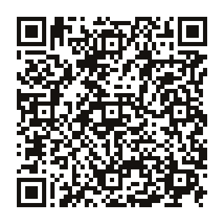
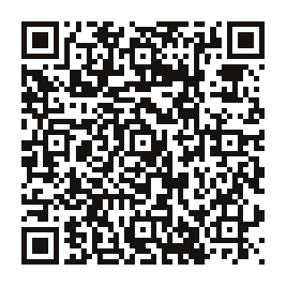
QR code

Scan with the tablet camera to download this APK directly.
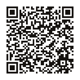
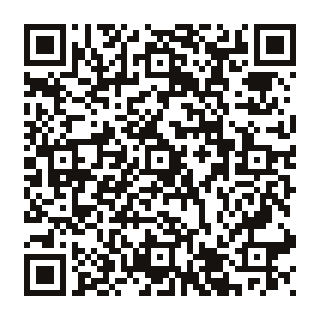
QR code
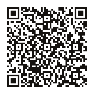
Scan with the tablet camera to download this APK directly.